
Call for applications · First international cohort

Become a Cartomize Country Lead or Campus Lead

Advance geospatial practices in your country and university.

Applications open
Deadline20 October 2026

Volunteer programme · Training and support included
Poster language
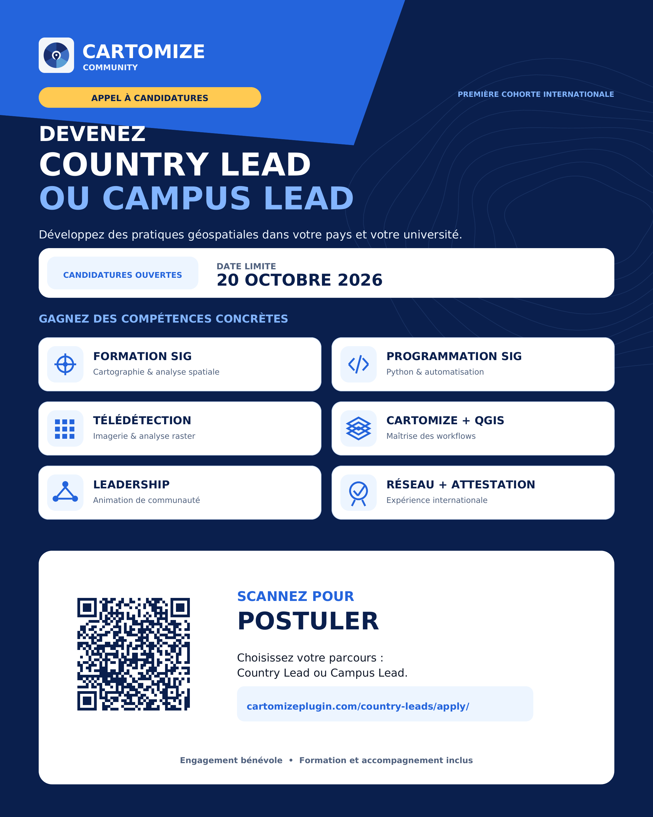
Cartomize poster: become a Country Lead or Campus Lead, deadline 20 October 2026
Download HD poster (FR)
What the programme offers

Gain practical skills

A practical pathway to build technical skills, develop leadership and contribute to an international geospatial community.

01

GIS training

Cartography, spatial analysis and professional production methods.

02

GIS programming

Python, automation and geospatial workflow design.

03

Remote sensing

Satellite imagery, raster analysis and interpretation of results.

04

Cartomize and QGIS

Master the plugin, analyses, layouts and exports.

05

Leadership

Community engagement, activity planning and communication.

06

Network and certificate

International experience and recognition of your contributions.

Two leadership pathways

Choose your pathway

At country level

Country Lead

Officially represents Cartomize Community in their country, coordinates Cartomize Campus chapters and develops national relationships.

  • Officially represent Cartomize Community in the country.
  • Coordinate Cartomize Campus presidents.
  • Engage universities, companies, institutions and geospatial communities.
  • Seek technical, academic and financial partners.
  • Prepare partnership proposals, budgets, support requests and draft agreements.
  • Identify local requirements concerning associations, events, fundraising and personal data.
  • Organise training, conferences, workshops and activities.
  • Produce a quarterly report on activities, partners, expenditure and results.
Within a university

Campus Lead

Creates and leads a Cartomize Campus club to promote learning, open-source contribution and peer exchange.

  • Set up the club with the institution.
  • Organise demonstrations and practical sessions.
  • Engage students in geospatial projects.
  • Document campus activities and results.
Selection and commitment

How does the application process work?

  1. 1Online form

    The application is completed entirely online.

  2. 2Assessment

    Eligibility check and background review.

  3. 3Interview

    Remote interview with shortlisted applicants.

  4. 4Training

    Initial six-week programme, approximately 2 to 4 hours per week.

  5. 5Impact plan

    Initial 90-day period before confirmation of the 12-month term.

Volunteer framework

The programme is not paid employment. Local activities may require support from partners or voluntary contributions. Any expenditure or commitment made on behalf of Cartomize must be authorised in writing; reimbursement is not guaranteed without prior approval.

Full application pack

Review all requirements before applying

The PDF outlines the responsibilities, profiles sought, selection process and volunteer framework.

Cartomize network

Country Leads directory

View the international network →

The first cohort is being selected

Profiles will appear here after appointment.